The Great Road Trip: California and Oregon
August 24, 2007 thru September 2, 2007Background:
Neither of us are native Californians. I had never been north of Santa Barbara (on the West Coast), and I knew there were some cool rocks up north. Melissa really wanted to see and camp in the giant redwoods. We knew we had to go soon- with a baby on the way, we wouldn't be able to take road trips like this for a while. I'd like to take some of the credit for planning the trip, but really, I can't. It was all Melissa's work that enabled us to take this trip.
We had the maps and a list of places to see on our trip. I packed the car (the least I could do!), and we set out for adventure (and rocks).
Itinerary:
Days 1 and 2: South Bay to Big Sur, and Big Sur to San Francisco
Days 3 and 4: San Francisco to Hendy Woods, and Hendy Woods to Crescent City
Days 5 and 6: Crescent City to Bend, and Bend to John Day
Days 7 and 8: John Day to Alturas, and Alturas to Sacramento
Days 9 and 10: Sacramento to Kings Canyon, and Kings Canyon to the South Bay
| Day 1, August 24, 2007 |
||
| Start Mileage: 0, Manhattan Beach,
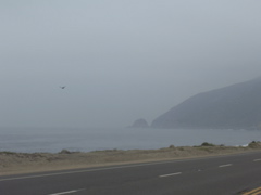
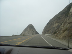
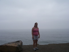
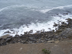
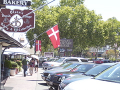
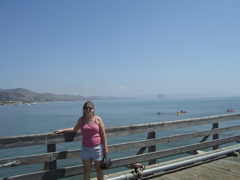
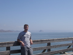
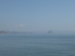
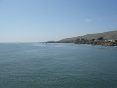
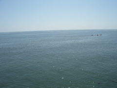
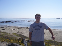
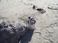
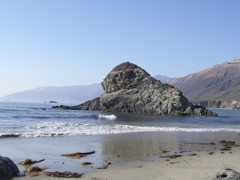
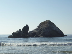
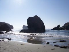
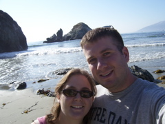
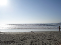
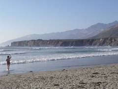
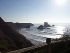
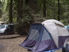
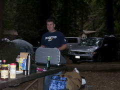
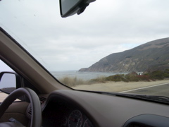
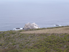
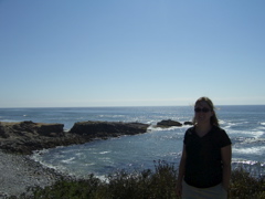
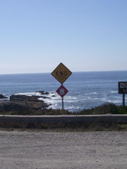
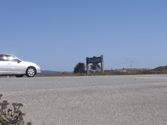
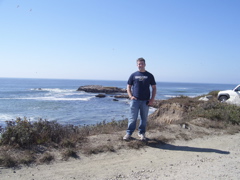
CA End Mileage: 325, Big Sur, CA At 8:30 we rolled out on the road, and met up with the Pacific Coast Highway in Manhattan Beach. After we got north of LAX, we caught our first glipse of the Pacific (on our trip that is!). At mile 143, we entered the town of Solvang, CA. It's a Denmark-recreation town complete with windmill architecture, but more importantly, a pancake house. We got there around lunch time, so it was a perfect opportunity to try out Paula's Pancake House. Their "Dutch Pancakes" were delicious. After a brief stroll around the town, we made our way back to the 1. At mile 231 we made a stop at Cayucos Pier. Mike had recommended it for wildlife viewing. We got to see a few seals feeding in the water, a ton of birds, and schools of fish swimming around the pier. North of the pier a bit there was a location for Elephant Seal viewing. It was pretty fun to see such large animals. At mile 280 we got to Sand Dollar Beach. At the very southern edge of the beach you can collect some of the jade that washes up on the shore. We picked up a couple of pieces, but we would have had better luck if the tide was low. At mile 325 we made it to Big Sur Campground and Cabins, pitched the tent, and cooked up some dinner. |
Day
1 Map
View Larger Map |
|
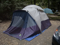
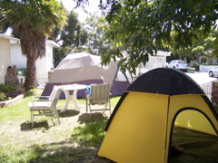 Tents airing out in the yard- we brought the yellow one along just for backup. |
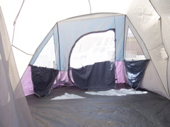 I think this tent is bigger than our normal room |
|
 |
 The car all loaded |
 |
 Hitting the 1 in El Segundo |
 Our first sight of the beach |
 |
 |
 |
 |
 |
 |
 Solvang- we ate at the Pancake House |
 |
 |
 |
 |
 |
 |
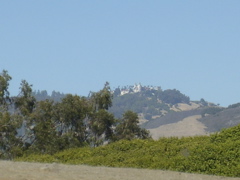
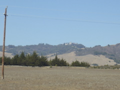 Hearst Castle |
 |
 |
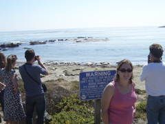
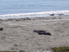 Elephant Seal |
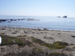 |
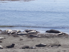 Lots of Elephant Seals... They were pretty smelly |
 |
 |
 Collecting Jade in Big Sur |
 |
 This is at Sand Dollar Beach, but we didn't see any Sand Dollars |
 |
 |
 |
 |
 |
 |
 Sand Dollar Beach |
| Day 2, August 25, 2007
|
||
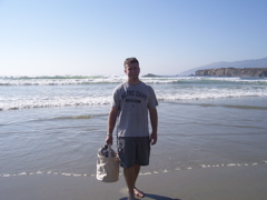
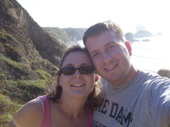
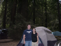
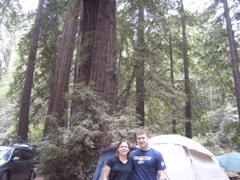
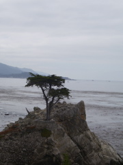
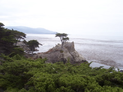
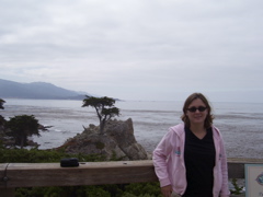
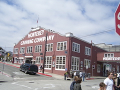
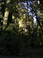
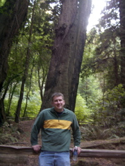
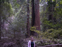
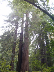
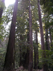
| Start Mileage: 325, Big Sur, CA End Mileage: 558, San Francisco, CA At about 6:30 we woke up to the birds, and an otherwise quiet campground. We got showered, and we started cooking up some breakfast. I had bought some Yuban instant coffee to make for camping... It was terrible! I've gotten a little accustomed to it now, but I should have just bought a camping percolator. By 9:30 we had the campsite torn down and were back on the road. At mile 352, we got to the scenic 17-mile drive around the Monterey Penninsula. For the past few years, I've had a picture of the Lone Cypress on my wall, but now I finally got to see it (mile 363)! It's stood on the cliff for over 250 years. Recently they've reinforced the walls to help preserve it. I'm not a golfer, but apparently it's the symbol of Pebble Beach (just down the road). After we finished the 17 miles, we headed into Monterey to check out the Aquarium and Cannery Row. The Aquarium is the best one I've been to- I think my favorite exhibit was the glow-in-the-dark jellyfish. We continued north- overshooting San Francisco to make it to Muir Woods. At mile 512, we got to Muir Woods. The pictures don't really do it justice. The coastal redwoods grow tall, as opposed to the Giant Sequoias which stop growing upwards at about 250 feet, then start growing out. Finally, we started back towards San Francisco. We met up with Pat and Laura at the Steelhead Bar and Grill near the San Francisco Airport. The service was far-less than satisfactory, but the food and drinks were great. At mile 558, we got to our hotel, the Hyatt Regency SFO ($85 on Hotwire!) and rested up. |
Day
2 Map
View Larger Map |
|
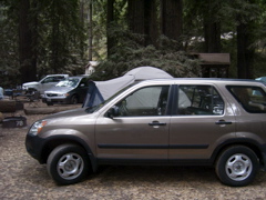 Our campsite in Big Sur |
 |
 |
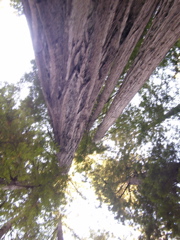
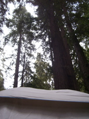 Redwoods above the tent |
 |
 Cooking breakfast |
 |
 |
 That's a lot of driveway to shovel |
 |
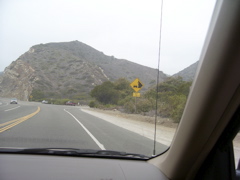
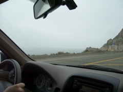
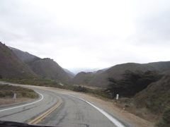 The roads up the coast were incredibly windy |
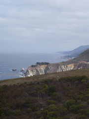
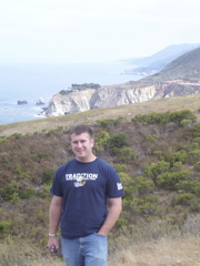
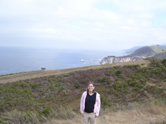
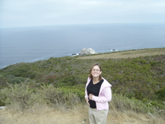
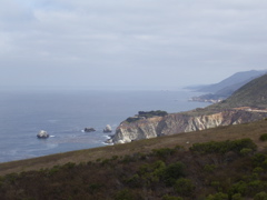 The views were amazing |
 |
 |
 |
 |
 The baby enjoyed the trip |
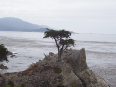 The Lone Cypress |
 |
 |
 |
 |
 Got Sardines? |
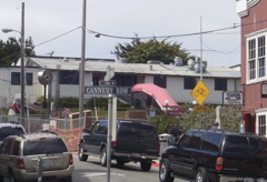 The point of the picture is the Cannery Row sign |
 |
 This is where the road ends |
 |
 |
 |
 |
 |
 |
 |
 |
 |
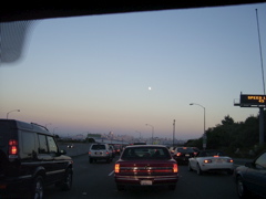
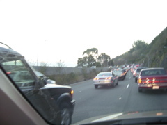 Getting back into San Francisco took a while |
 |
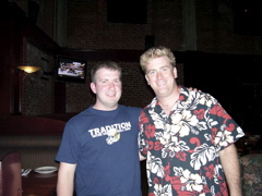 |
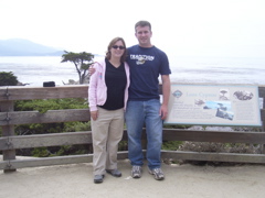
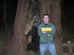
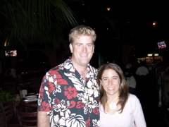 Pat and Laura |
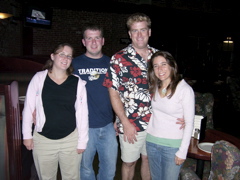 The 4 of us |
|
|